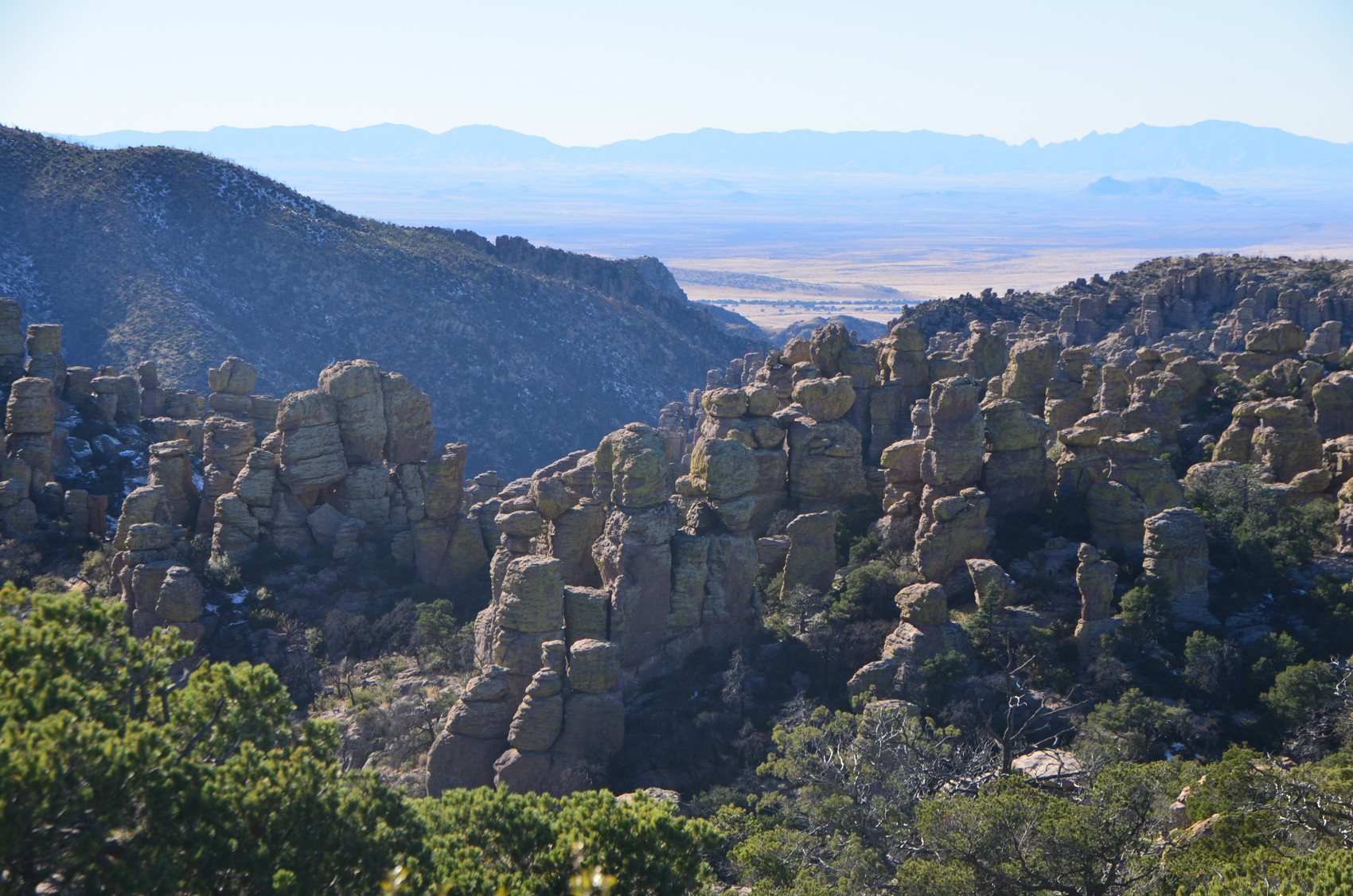
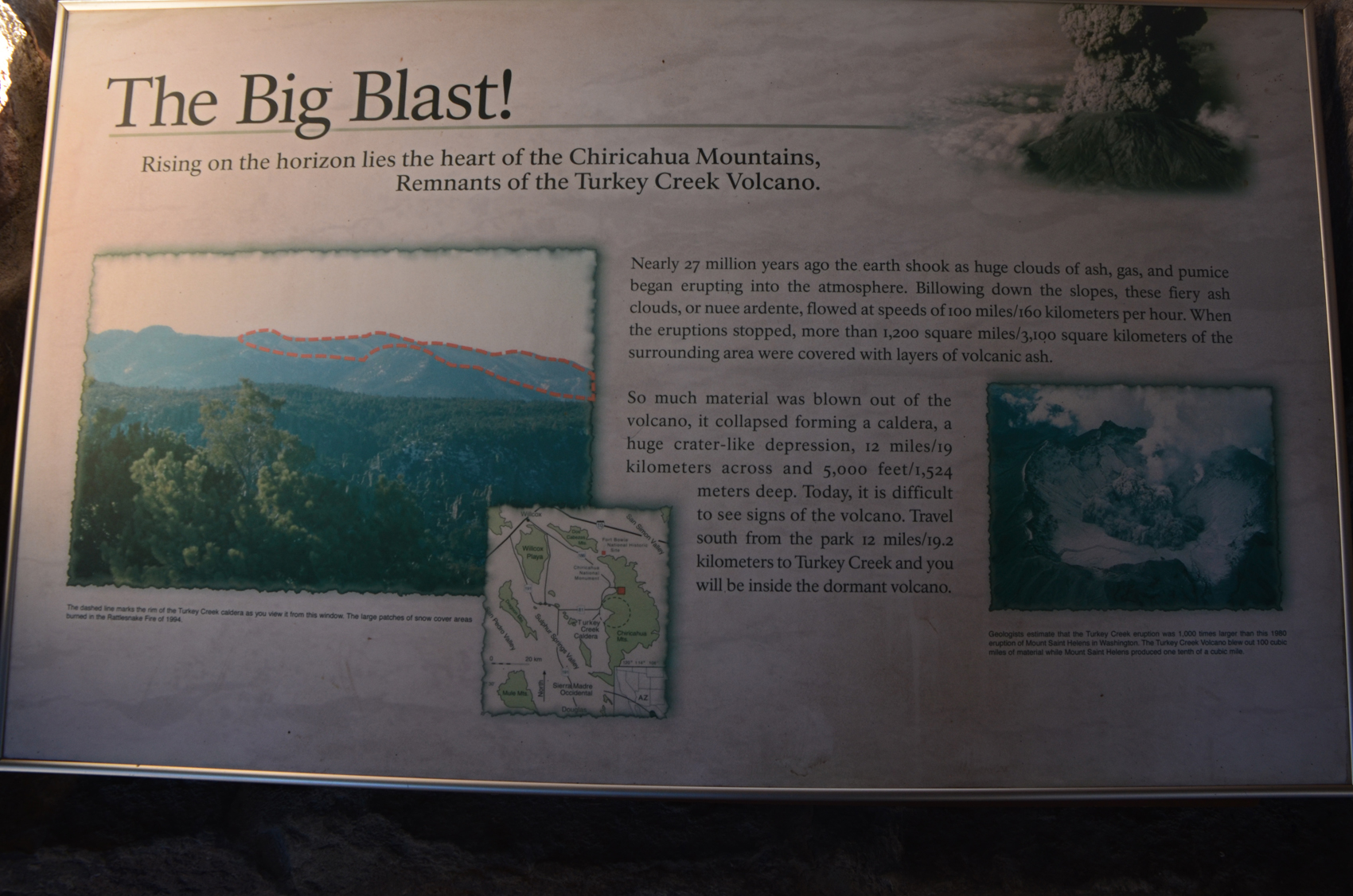
 November 19th, 2015 – Chiricahua National Monument, AZ – Hoodoos (eroded stone columns) and Balancing rocks abound, the result of eroded volcanic debris from the nearby Turkey Creek Caldera. I only heard about this little gem the day before while chatting with another photographer at White Sands. If you are reading this, thank you!
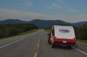
If you have a long rig be aware that vehicles over 22 feet aren’t allowed beyond the visitor’s center. You may be able to find a place to drop your trailer depending on the number of other visitors, but a day trip without the full rig, or reserving a spot at the campground are probably the best options.
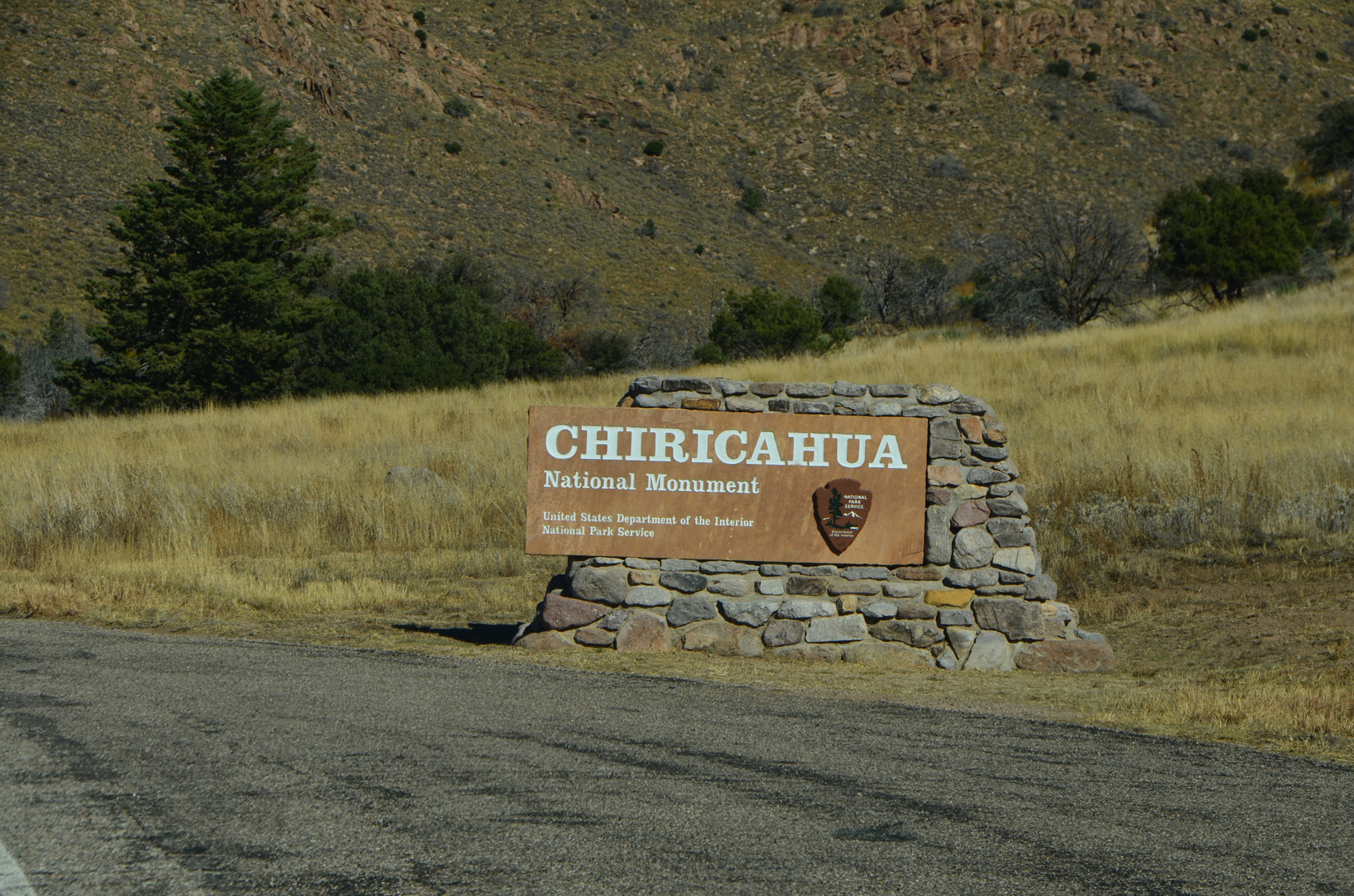 Chiricahua National Monument is in the southeastern part of Arizona (wiki). It is south of Interstate 10, and requires a little backtracking for those headed east. From Wilcox at about 4100 feet you’ll slowly climb to about 5100 feet before you reach the monument. I dropped my trailer at the Faraway Trail horse unloading lot. There weren’t any cars here or at the nearby paved parking lot. I would say this is about as far as you would want to pull your trailer if you aren’t camping. There are places to turn around, but not much in the way of places to stop.
I stopped at the visitor’s center and chatted with the rangers there for a few minutes, then headed up Bonita Canyon Road to Massai Point. I also took a quick once around of the loops at the campground. Plenty of spots, but I had planned to get a bit further tonight and had a reservation in Benson.
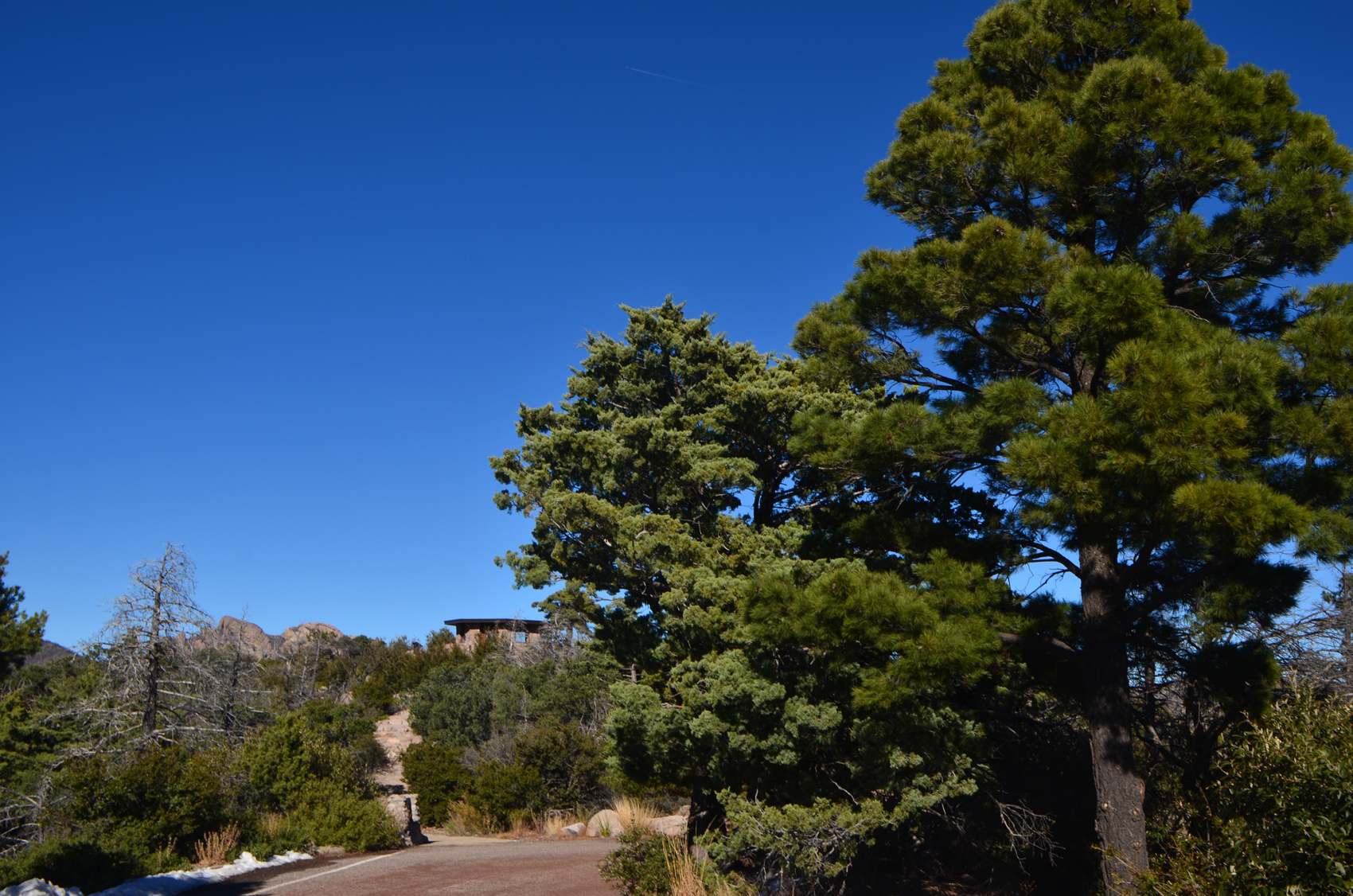
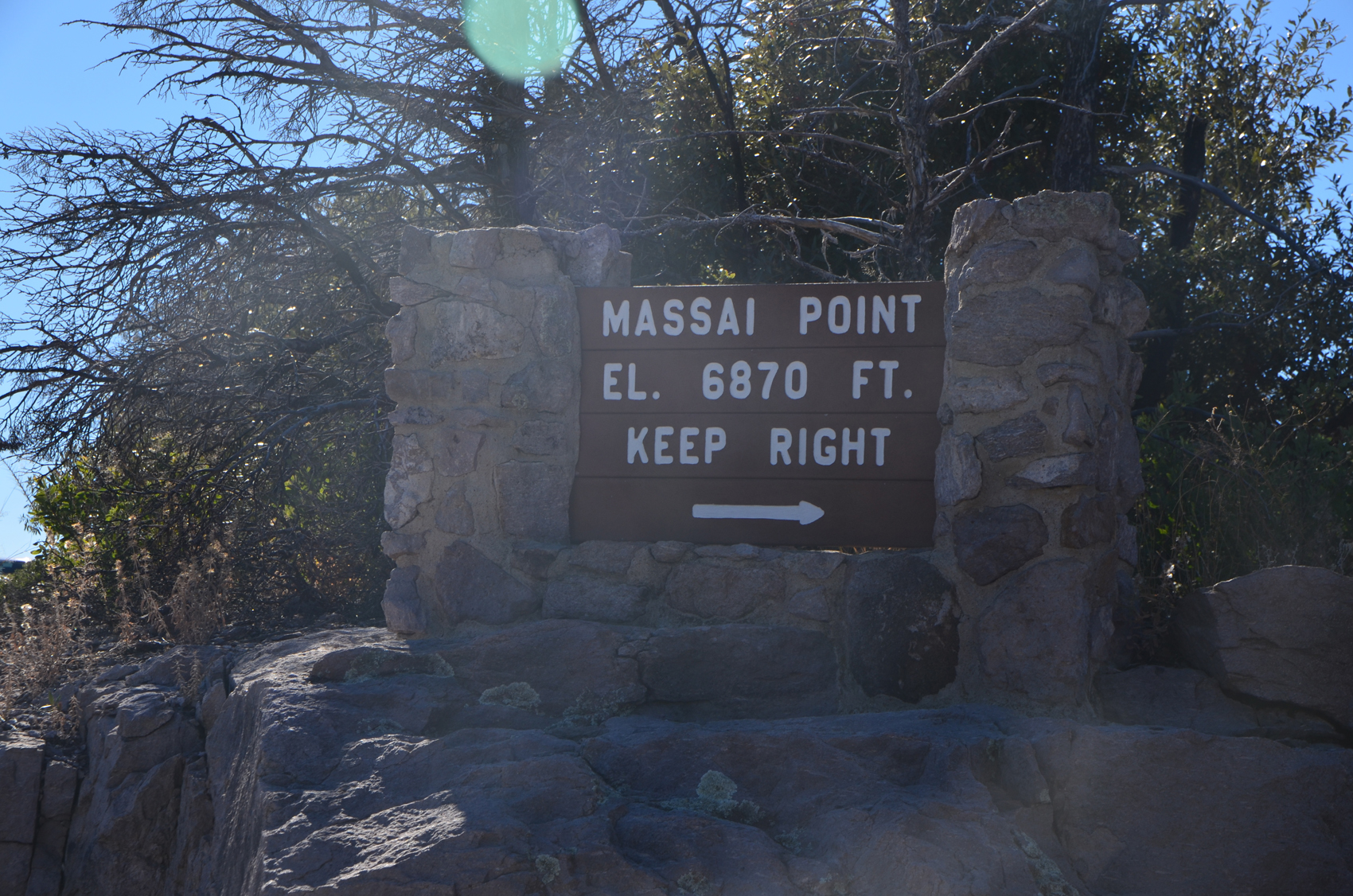 The road winds up another six miles through a forested canyon to about 6870 feet, with the remains of a recent snowfall still visible shady spots. At the top there is a circular drive with some parking. There are spectacular views in all directions, but through the trees at this point. A short (half mile) loop trail takes you through the forest to various overlooks and exhibits. There are many options for hiking here, but I didn’t take advantage of that this time. The park has a pin you can earn if you hike and come back to log your trips and show the ranger pictures of yourself on the trail. They also may be offering a shuttle for hikers, so check with the rangers.
 A small exhibit building has additional interpretive signs, both about the geology and what you are seeing on the horizon. Parts of the trail are paved, other parts wide and even, but a small portion has steps and some steeper sections. While you may not be able to complete the loop, there are plenty of options for getting out of the car and seeing the sights.
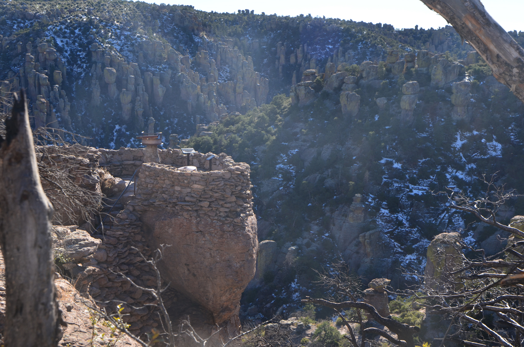 A small rock viewpoint later along the trail is built up out of stacked stones atop a large boulder. The viewpoint has a device to help you identify specific features along the horizon. It is a tube that swivels in an arc, which can rest in several notches cut into the rim. Each notch has a name of a feature, and with the tube resting in the notch, you can look through the small hole to see that feature.
This is a nice side trip, it seemed like it might be a bit less crowded than some of the other parks. I’d do this as a day trip and bring a picnic, or maybe plan to do some hiking on the trails here.